Lockham - where the canal used to cross the river on a low level aqueduct

When first built, the canal shared the same channel as the river from a point just upstream of Whitminster Lock and Lockham. However, Whitminster Mill also used the river for water power and it was inevitable that such an arrangement was fraught with problems. The water level would fall as the mill used the water making reliable navigation impossible. As a result, the canal company constructed a new parallel length of canal which crossed the river using a syphon style of aqueduct at Lockham.

Following the abandonment of the canal, the river and canal channels between Whitminster Lock and Lockham were merged and the aqueduct removed to prevent flooding. At Lockham, the Stroudwater Canal (1779) parts company with the river and heads eastwards to the A38 whilst the river continues to Fromebridge Mill.

The restoration plans to use the original 1779 arrangement as the problems of Whitminster Mill dropping the water levels no longer exists.

Latham Aqueduct site

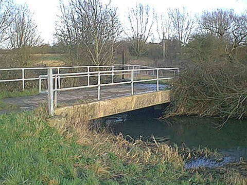
The site of the former Lockham Aqueduct with the river crossing right to left and the route of the Stroudwater Canal straight ahead heading eastwards. The canal and river levels were more or less the same and no trace of the aqueduct which was of a syphon type remains.

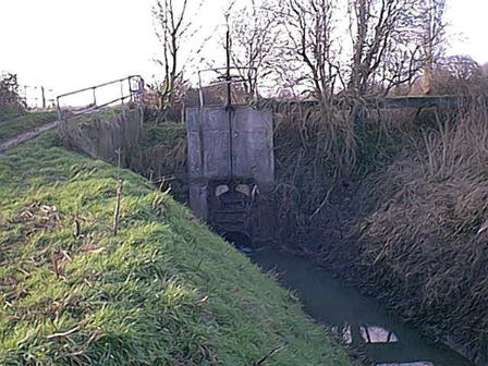
There is little prospect of the EA. allowing its replacement due to flood risks.

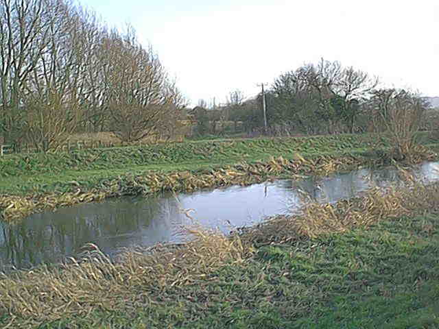
Early maps of the Stroudwater Canal show the canal using the river from this point to Whitminster and it is unclear whether the design was changed or whether the channels were separated after construction.


Latham Bridge
Farm Bridge at Lockham
deep drain
Deep drain passing under River Frome
Stroudwater overflow east of Latham
Canal overflow into deep drain between Lockham and Stonepitts Bridge.

Back to Map 1