If the original length of the Stroudwater Canal between the site of Lockham Aqueduct and the A38 is to be used for navigation, the integrity of the flood protection works will need to be maintained. There are two ways of overcoming this problem:
Method 1 : Raise the canal banks
In this method, the canal is connected directly to the river at Lockham through the existing flood banks. The banks of the canal would be raised as necessary to the level of the flood banks at Lockham.
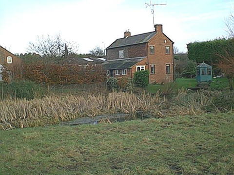
Since the land is generally rising to the north, only limited work would be needed on this side of the canal. An important exception is likely to be close the A38 at Whitminster Wharf picture . There is a group of houses at this point which, on superficial inspection, may be liable to flood before the water level exceeds that of the flood banks. In order to correct this problem, a drain would need to be taken under the canal to the low level drainage ditch to the south of the canal and a wall or bank built to the required height. picture
The towpath (south) bank will need to be built up along much of its length by various amounts.
This length of canal currently discharges over a small weir into the low level drainage ditch which flows under the Frome at Lockham. This weir would be removed under this scheme as there would be a free flow of water into the Frome. Pictures
Method 2: Insert a Flood Gate at Lockham
An alternative to Method 1 is to build a new flood barrier at, or close to, the point where the canal would leave the river at Lockham. This would comprise a single guillotine gate similar to the one proposed at Whitminster Lock.
The gate would normally be left closed but could be opened by boat crews to allow passage to and from the canal and river. The use of a key would ensure that it was not accidentally left in the open position.
The gate would have to be large as its top, when closed, would have to be the height of the flood banks. The bottom of the gate when raised would have to provide 2.4m of clearance above the highest river levels consistent with navigation. The overall structure would be of considerable size. This would be an expensive structure.
The alternative of constructing a conventional lock is less satisfactory since the canal would be free to drain if the river was lowered in the event of a pollution incident. There is also a risk that both sets of gates would drift, blow or be left open due to the lack of a significant difference in water levels for much of the time.
Method 3: Reduce height of Frome flood bank
This is the method favoured by the Environment Agency but would require agreement of those owning the land between the Frome and the Canal west of the A38.
The proposal is to reduce the height of part of the northern flood bank running along the Frome. This would cause the river to flood the meadows between the canal and the Frome more often than it would at present and before the existing canal banks were over topped. This would create a massive increase in flood plain capacity for lower levels of flow and the principle beneficiary would be Fromebridge Mill as the risk of flooding of the property (but not the car park) would probably be significantly reduced.
In an extreme flood, the canal may still over top its banks but the water level outside of the canal would now be at a similar level with minimal flow out of the canal. Under such circumstances, damage to the banks is likely to be minimal.
The character of the land between the canal could be modified to create
habitats for wildlife and/or managed to create traditional water meadows to
greatly increase biodiversity.