Cirencester Arm
Back to T&S Canal
Index
 The one and a quarter mile Cirencester Branch used to link
the town with the T&S Canal main line at Siddington. It was also used
as a feeder; being linked to the River Churn north of Cirencester via a culvert
which ran right under the town.
The branch has really suffered since its closure in 1927, something
future generations living in Cirencester are likely to regret as it would
have brought additional prosperity to the town and been a real attraction.
As it is, only about half of the branch survives unobstructed.
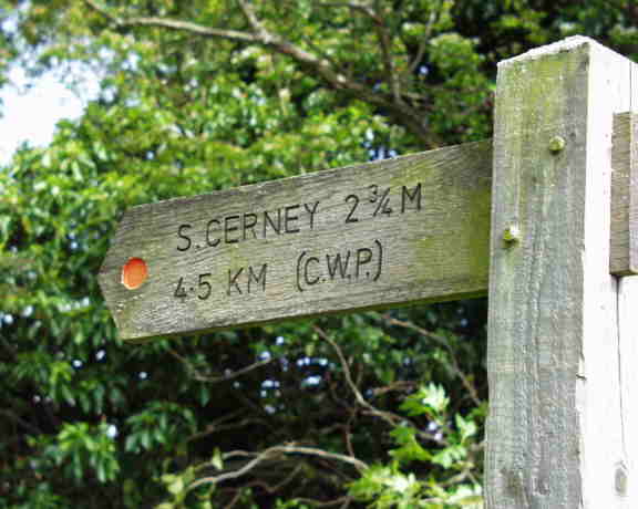
Signpost part way along the branch
In theory there is supposed to be, or at least was, a public footpath
along the north side of Siddington Top Lock which led along the side of
the junction and up the branch. This has been obstructed but the towpath
can be joined at the site of the former bridge carrying the Siddington -
Ewen road a little to the north.
The first length running behind a parallel row of houses has been infilled
but has not been built on. At the end of the houses, the canal bed emerges
although some locals clearly regard it as a dump. At one time, a bridge
similar in design to the attractive Jubilee Bridge near Stroud carried a
path over the canal here.
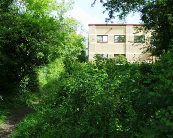
The branch is intact for about a third of a mile and then a new building
covers the bed although the towpath remains. This is very recent and its
building caused the loss of an interesting set of stop plank narrows where
fine examples of T&S stamped bricks could once be seen.
Beyond this point, things go downhill badly and there is little evidence
of the canal as one finds oneself in the middle of the modern Love Lane
Industrial Estate.
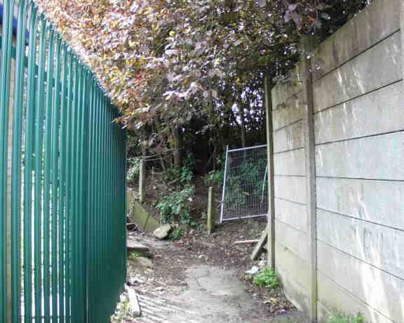
A very recent addition to the obstructions
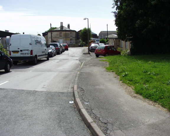
In spite of all the destruction, the canal towpath route can be followed
in a number of places when it can be found. To the south of Chesterton
Lane, a road has been built on the canal where it passes by an interesting
rounded building which was once associated with the long gone gas works.
It features in historic photographs.
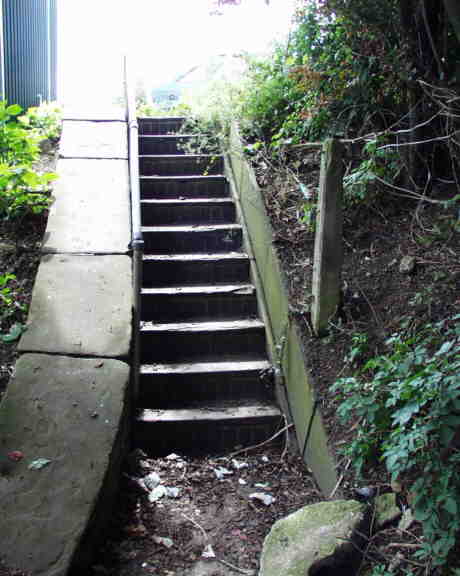
To the north of Chesterton Lane, some steps which once led from the
bridge down to the towpath survive as does the route of the towpath itself
as it moves towards the town.
Beyond this, the towpath right of way caused an underpass to be built
under the Cirencester Bypass.
The original basin now lies under new development near Waitrose.
The Cirencester Wharf building survived until as late as 1975 before it
too was discarded and obliterated.
 The one and a quarter mile Cirencester Branch used to link
the town with the T&S Canal main line at Siddington. It was also used
as a feeder; being linked to the River Churn north of Cirencester via a culvert
which ran right under the town.


