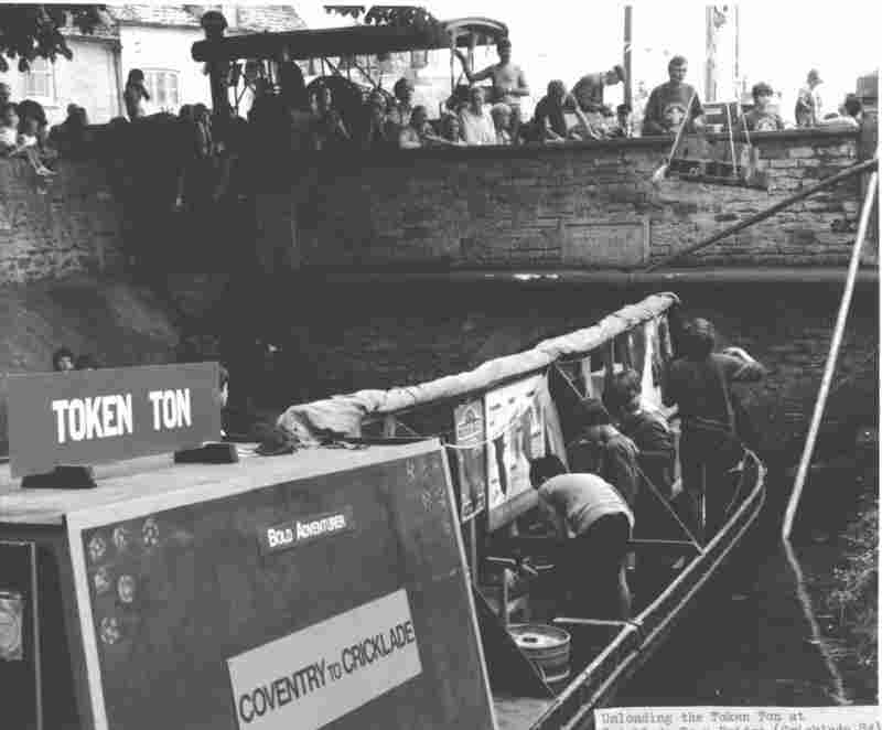
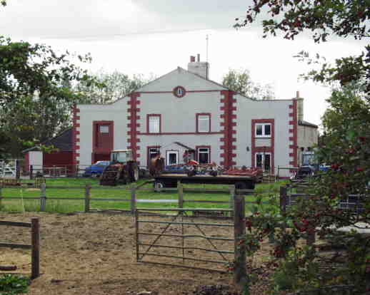
Cricklade and Latton Picture Gallery Back to T&S Canal Index
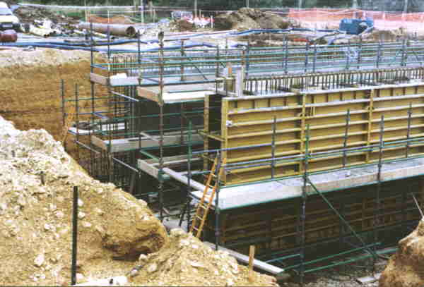 After a battle with the Highways Agency which lasted over 10 years, the
Cotswold Canals Trust succeeded in getting a bridge built to carry the restored
canal under the new road. Funded by the Local Authorities and the Trust, it
is currently buried under the road awaiting the canal's reconstruction -
it is more or less on the site of the original Latton Bridge but at a much
lower level.
After a battle with the Highways Agency which lasted over 10 years, the
Cotswold Canals Trust succeeded in getting a bridge built to carry the restored
canal under the new road. Funded by the Local Authorities and the Trust, it
is currently buried under the road awaiting the canal's reconstruction -
it is more or less on the site of the original Latton Bridge but at a much
lower level.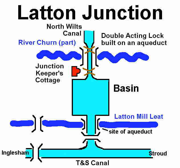
| To Picture Gallery
|
|
|
Maintained by: ken.burgin@pikelock.com |
Copyright © Ken Burgin 2002 - all rights reserved |