 Stroudwater Navigation Boating Section 1 Guide
This section of the Stroudwater Canal
is managed by SVCC and navigation information is available on their web pages HERE. Please remember that the
offside canal bank (the one opposite the towpath) is usually private
property. This section is being fully restored as part of the Phase 1B project and navigation, even by small craft, may not be allowed.
Section 1 - Lockham to Whitminster Wharf (A38)
The total length of canal here is about 1Km. Access to this
section is at the point where the canal is intersected by the A38
roundabout
at the end of the A419. There is a lay-by on the A38 northbound
carriage
way just after leaving the roundabout. It is necessary to cross a style
between the roundabout and the canal and some portaging may be
necessary
due to reed growth before open water is reached.
On the opposite bank of the canal is Whitminster Wharf. This was an
important point for transferring goods from the canal to road transport
for
local distribution.
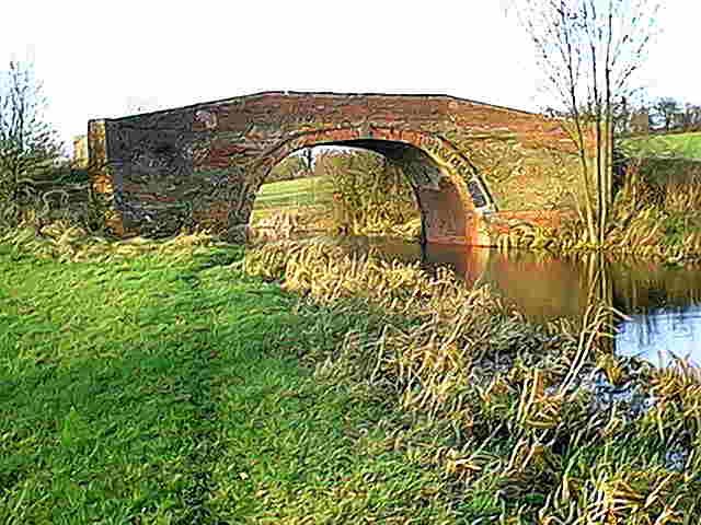
The canal heads westwards with a pill box on the south bank before
eventually reaching Occupation Bridge. This original brick bridge was
restored by contractors working for the Cotswold Canals Trust a few
years ago.
A short distance beyond the bridge, the canal is crossed by an oil
pipeline at a fairly low level. It was this pipeline that killed off
the tanker traffic on the River Severn in the late 1960s. There should
be sufficient headroom for small craft to pass under it.
The next significant feature is the site of Stonepitts Bridge. This
used to be a swing bridge but the crossing has been culverted so
portaging around this obstruction is necessary. Nearby is another pill
box.
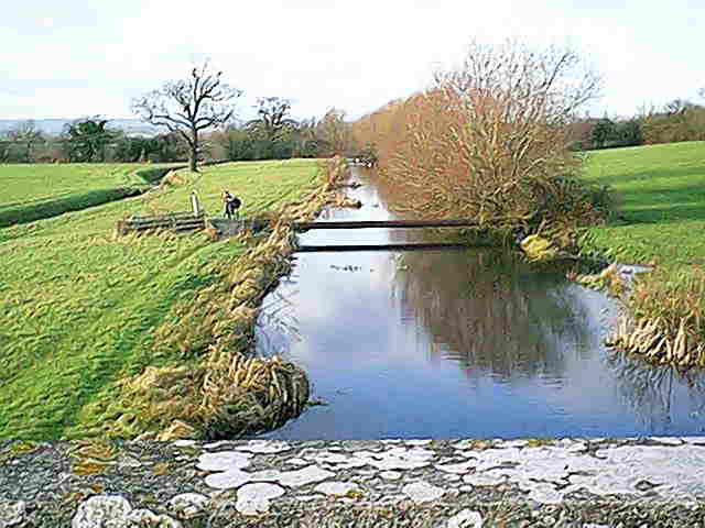
The canal beyond Stonepitts has been dredged recently and there is a
good depth of water. The canal stops just short of the River
Frome at the site of Lockham Aqueduct. The water levels of the canal
and river were very similar at this point and the river dipped under
the canal. Following the closure of the canal, concerns about flooding
resulted in its removal and the river and canal beds were merged
westwards from this point to Whitminster Lock. The restored canal is
expected to use this joint channel in due course but the craft licenses
do not cover its use at the present time.
Section 2 - Meadow Mill to Ryeford Double
Lock
Section 3 - Ebley to Wallbridge, Stroud
Guide
to Navigation Back to Stroudwater Index Page