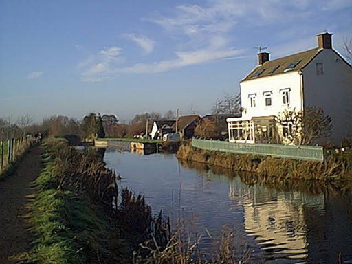
This document has been prepared to assist in discussions with the Environment Agency and others in the preparation of an agreed route for the reconnection of the Stroudwater Canal at Whitminster, close to the point where it leaves the Gloucester and Sharpness Canal and Eastington whence the original route of the canal can be followed to Stroud.

The Whitminster - Westfield section of the canal has been badly affected by flood prevention works to the River Frome and the building of the M5 and its associated road improvement works.
For these reasons, the restoration of navigation across this gap in the
canal route will be complex and expensive. The
Cotswold Canals Trust
and the Company of Proprietors
of the Stroudwater Navigation
have reviewed the many possible options and, having taken into account
the outcome of a number of engineering studies and the views of some of
the private landowners likely to be affected, wish to propose a preferred
solution.
History
The Current Situation
Map
The River River Route
Map
The M5 Bridge Shared Route
Map
The new M5 Bridge Route
Map
Summary